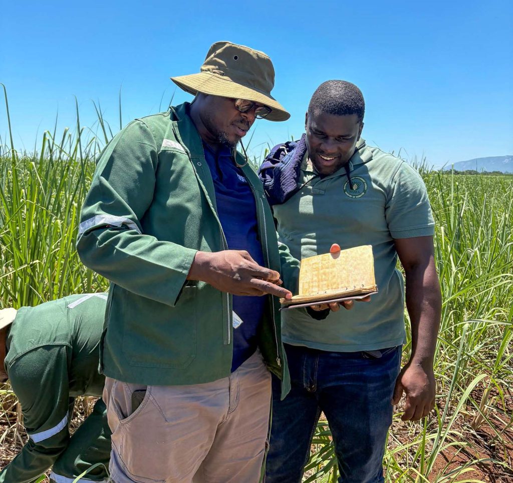

Eswatini has completed a comprehensive national soil survey that is expected to strengthen agricultural planning, improve land management and provide a scientific basis for addressing soil degradation across the country.
The exercise, undertaken through the Ministry of Agriculture in collaboration with the Food and Agriculture Organization (FAO) of the United Nations and other government institutions, forms part of an ongoing project aimed at supporting soil classification and landscape ecological integrity through improved natural science data collection.
The initiative seeks to strengthen evidence-based decision-making on land and soil resources, ultimately contributing to improved livelihoods, agricultural productivity and resilience in the kingdom.
Survey covers major agro-ecological zones
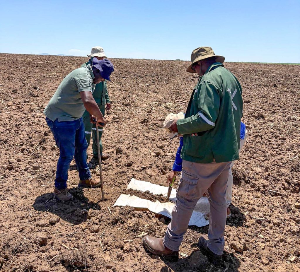
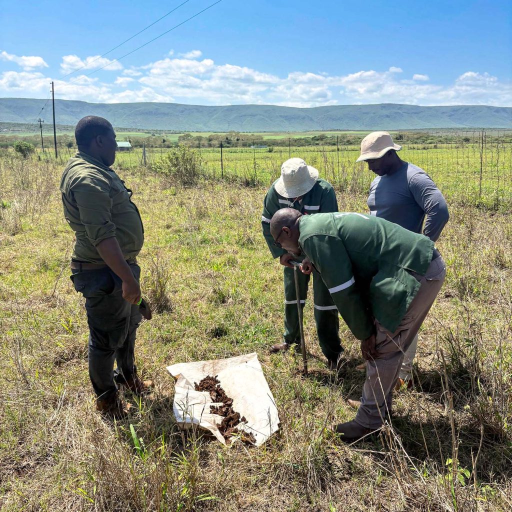
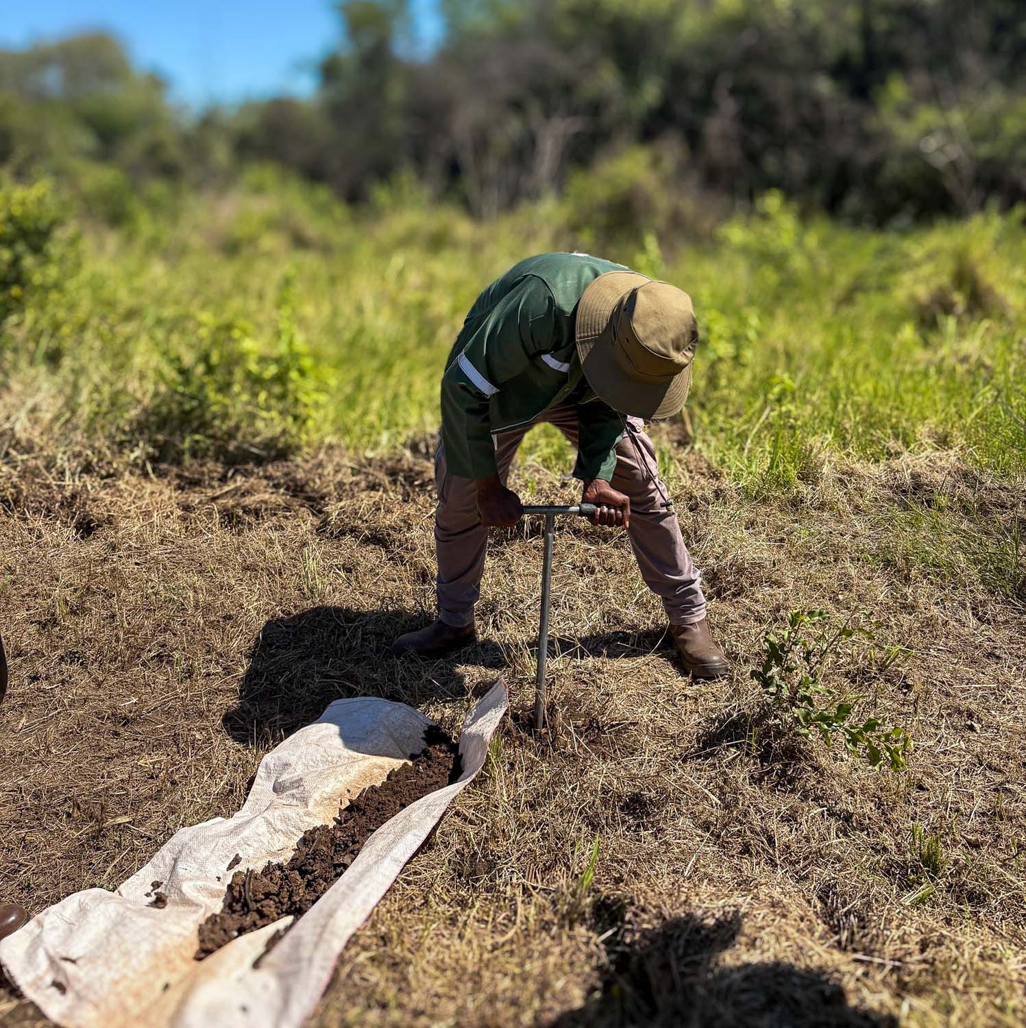
Using a modified Land Degradation Surveillance Framework (LDSF) approach, the project team conducted surveys at 10 representative sites across the country’s major agro-ecological zones.
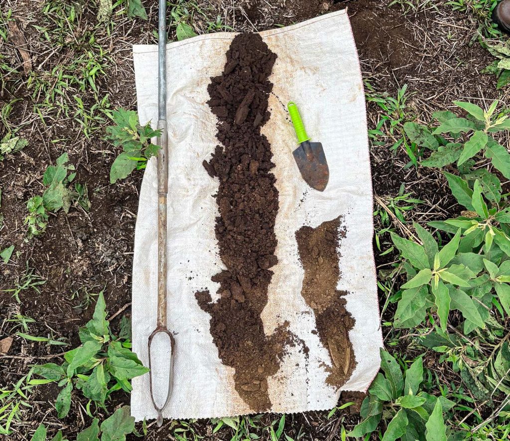
A total of 739 soil samples were collected during the exercise, generating extensive information on soil health, vegetation cover, land degradation, slopes and land tenure. The datasets provide an updated national evidence base that can help authorities, researchers and agricultural stakeholders better understand the condition of the country’s landscapes and the factors influencing their agricultural potential.
The information is particularly important in identifying areas where soil conditions may limit agricultural production, as well as locations where targeted interventions could improve land productivity.
Assessing soil health, laboratory capacity
Beyond collecting field data, the project also assessed the capacity of national laboratories to support reliable soil analysis.
Public laboratories received support through the provision of reagents, consumables and identified priority equipment needs. This intervention is intended to strengthen the country’s ability to conduct soil testing and generate reliable scientific information locally.
To further improve the credibility and consistency of results, national laboratory findings were benchmarked against those from an ISO-accredited reference laboratory. This process provides a pathway towards harmonising soil analysis systems in line with the FAO Global Soil Laboratory Network (GLOSOLAN) standards.
Strengthening laboratory capacity is important because accurate soil analysis enables farmers, researchers and policymakers to make informed decisions on soil fertility management, fertiliser application and sustainable agricultural practices.
Mapping soil fertility, degradation hotspots
Analysis of the collected datasets has revealed important spatial patterns relating to soil fertility, organic carbon, soil texture, vegetation cover and erosion hotspots.
The findings have also helped identify areas with high land suitability, providing valuable information for agricultural planning and the allocation of land resources.
Equally important is the identification of priority areas requiring targeted land degradation management. These findings can guide interventions aimed at addressing soil erosion, restoring degraded landscapes and maintaining soil health. The information generated is also suitable for future updates to the country’s agro-ecological zoning framework.
Agro-ecological zoning helps determine the suitability of different areas for particular agricultural activities by considering factors such as soil characteristics, climate, topography and other environmental conditions.
Having reliable information in this regard can support better decisions on crop selection, land use and agricultural investment.
Final classification work underway
While the national survey has been completed, work is continuing to finalise soil classification and interpretation for Mhlume and Big Bend. Completing this final stage will bring together the national soil classification and agro-ecological zoning outputs, providing a more comprehensive understanding of Eswatini’s soil resources.
The resulting information is also expected to support the development and future integration of data into a national soil information system. Such a system would provide an important reference point for accessing soil-related information, supporting research and informing decisions on land use and agricultural development.
Building resilient agricultural systems
The completion of the national survey represents an important step towards improving how Eswatini understands, plans and manages its land resources.
With information on soil fertility, degradation patterns and land suitability, agricultural planners and other stakeholders will have a stronger scientific foundation for developing interventions suited to the conditions of different areas.
For farmers, improved soil information can contribute to better-informed decisions on crop production, soil fertility management and conservation practices.